Log in
All resources
Create a design
34,293 Free Images of 1755 Mitchell Map
maps
fondo antiguo
libros del siglo xvi
engraving
grabados
city
belgium
ciudad
bélgica
nouus de leone belgico..., 1588
atlas des anciens plans de paris by imprimerie nationale, 1880 from bhvp
turgot map of paris, bibliothèque historique de la ville de paris
atlas des anciens plans de paris by imprimerie nationale, 1880 from bhvp
turgot map of paris, bibliothèque historique de la ville de paris
atlas des anciens plans de paris by imprimerie nationale, 1880 from bhvp
turgot map of paris, bibliothèque historique de la ville de paris
atlas des anciens plans de paris by imprimerie nationale, 1880 from bhvp
turgot map of paris, bibliothèque historique de la ville de paris
19th-century maps of the malay archipelago
19th-century maps of southeast asia
portrait de maria antonia (marie-antoinette), archiduchesse d'autriche, future reine de france, filant une frivolité (1755-1793) (1947-0042)
marie antoinette of austria as a child
nypl lionel pincus and princess firyal map division
geographical atlases
backs of postcards in curt teich postcard archives
postcards of ottawa county, oklahoma
nypl collection of atlases, gazetteers, guidebooks and other books
nypl lionel pincus and princess firyal map division
backs of postcards in curt teich postcard archives
postcards of st. louis, missouri
backs of postcards in curt teich postcard archives
postcards of madison county, illinois
backs of postcards in curt teich postcard archives
postcards of creek county, oklahoma
backs of postcards in curt teich postcard archives
postcards of ottawa county, oklahoma
lawrence h. slaughter collection of english maps, charts, globes, books and atlases
nypl lionel pincus and princess firyal map division
bird
owl
science
geology
new zealand
australia
new zealand
australia
new zealand
printing
new zealand
australia
new zealand
australia
new zealand
australia
new zealand
australia
new zealand
australia
new zealand
australia
new zealand
australia
new zealand
australia
new zealand
australia
new zealand
australia
new zealand
australia
new zealand
australia
new zealand
australia
maps
city
maps
city
maps
city
maps
city
maps
city
maps
city
maps
city
maps
city
maps
city
maps
city
maps
city
maps
city
maps
city
maps
city
maps
city
maps
city
maps
city
maps
city
maps
city
maps
city
maps
city
maps
city
maps
city
maps
city
maps
city
maps
city
maps
city
maps
city
maps
city
maps
city
maps
city
maps
city
maps
city
maps
city
maps
city
maps
city
fourrure et pelletiers. a travers les ages
furriers in paris
cartography
maps
cartography
maps
cartography
maps
cartography
maps
cartography
maps
cartography
maps
cartography
maps
cartography
maps
cartography
maps
cartography
maps
cartography
maps
cartography
maps
atlas maior, vol 1 (northern europe, norway, and denmark) - joan blaeu, 1667 - bl 114.h(star).1
17th-century maps of iceland
pompa introitus ferdinandi austriaci, hispaniarum infantis etc. in urbem antverpiam
prints by theodoor van thulden in the rijksmuseum amsterdam
map of paris by claes jansz. visscher - derivate files
17th-century people of paris
map of paris by claes jansz. visscher - derivate files
17th-century people of paris
atlas des anciens plans de paris by imprimerie nationale, 1880 from bhvp
plan de turgot
portraits of sigismund iii of poland in engravings
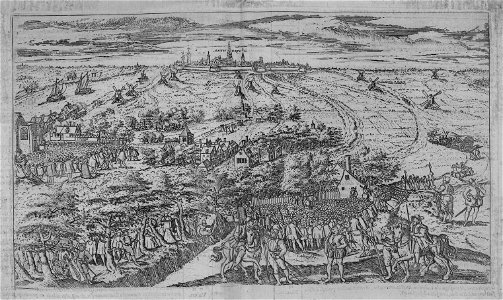
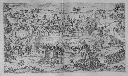
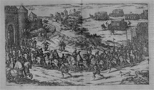
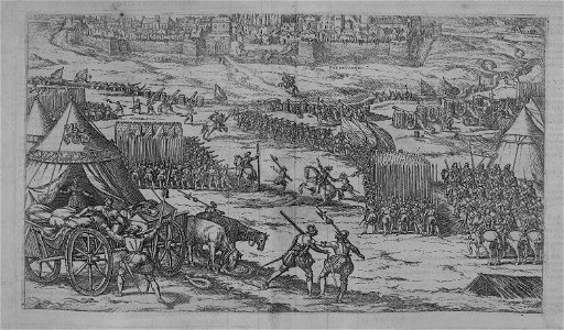
details of sigismund's map of moscow
postcards of churches in chicago
map postcards
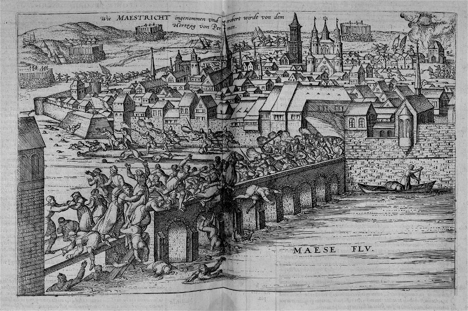
map of maastricht by willem and johannes blaeu (1649)
history of wyck (maastricht)
portraits of michał kazimierz ogiński
paintings by anna rosina de gasc
bird's-eye views of paris
1860 in paris
juliana of the netherlands in 1969
dutch baroque architecture
paintings by antônio parreiras in the museu antônio parreiras
landscape paintings by antônio parreiras
paintings by antônio parreiras in the museu antônio parreiras
paul et virginie
photos of mercury by mariner 10
maps of mercury
impact craters on mercury
impressionism
cartography
maps
paintings by antônio parreiras in the museu antônio parreiras
paintings of cityscapes by antônio parreiras
a map of the provinces of new york and new jersey, with a part of pennsylvania and the province of quebec
maps in the library of congress
cartography
maps
4201 - 4300 of 34,293
Next page
/ 343